


Leaders in Geospatial data
Bluesky International is a leading aerial survey and geographic data company, producing and maintaining high quality, accurate digital aerial photography and height data on a national scale in the Republic of Ireland and Great Britain.
We have a full range of geospatial data products and also offer bespoke or tailored data capture solutions.
Get in touch today to find out more.

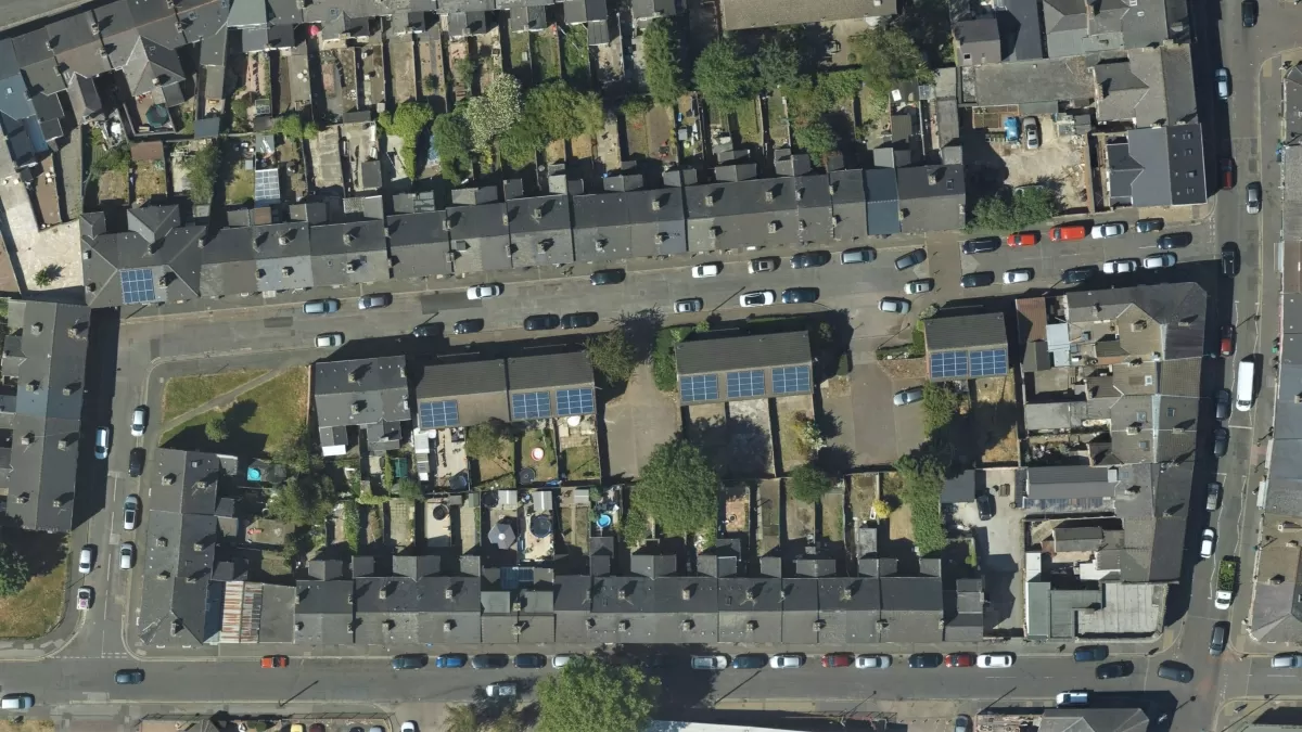
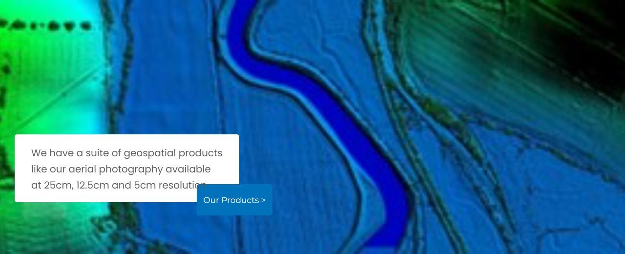
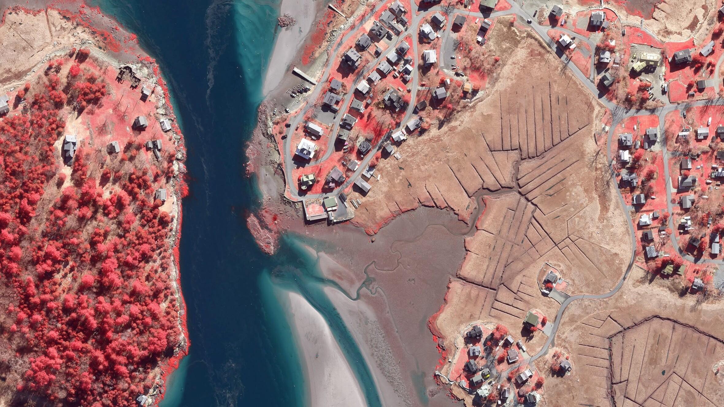
Aerial Photography
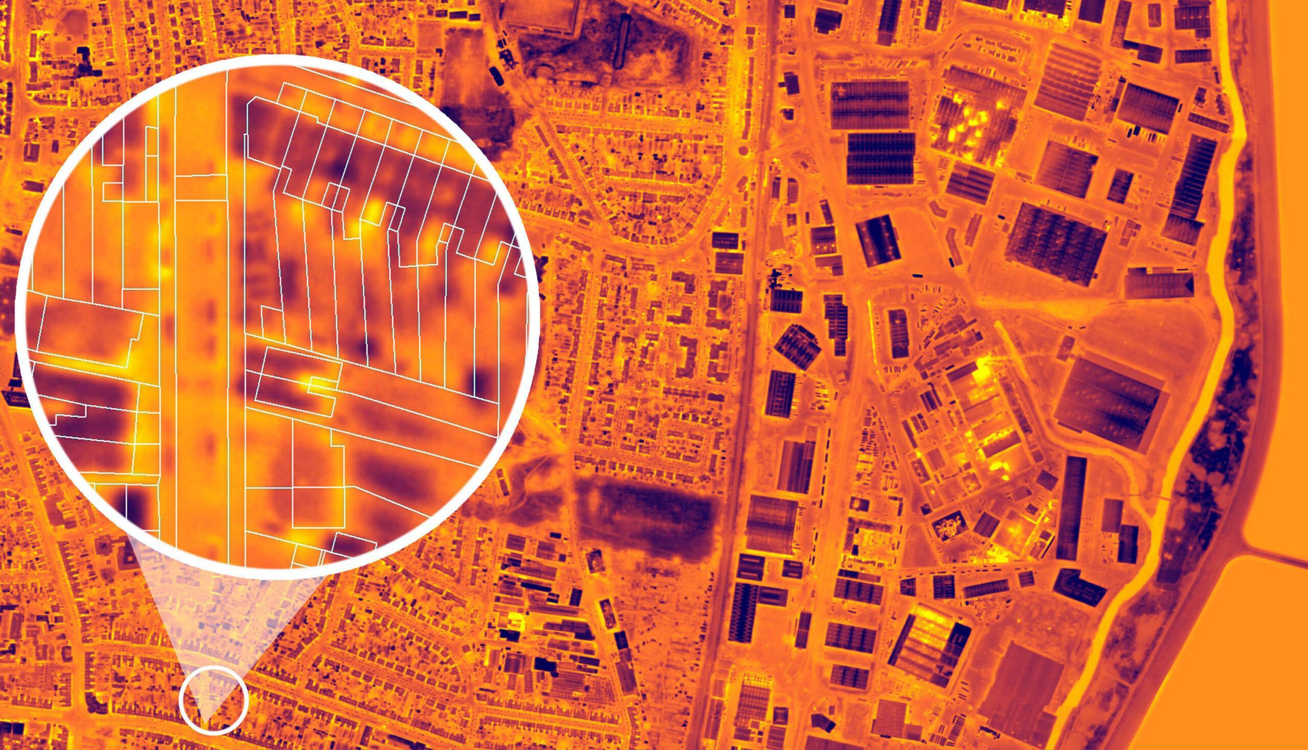
We have a full library of aerial imagery of the Republic of Ireland and Great Britain at high resolution including areas mapped at 5cm.
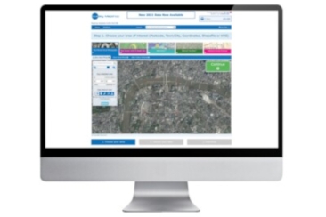
Mapshop
Our online store enables you to immediately access our most up-to-date, off the shelf, high quality data.
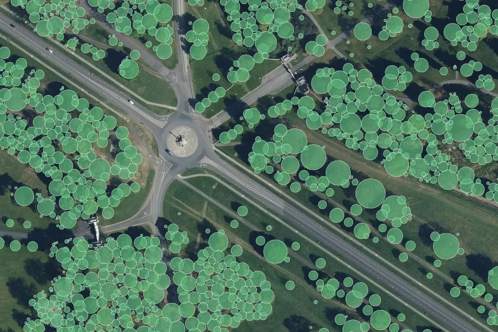
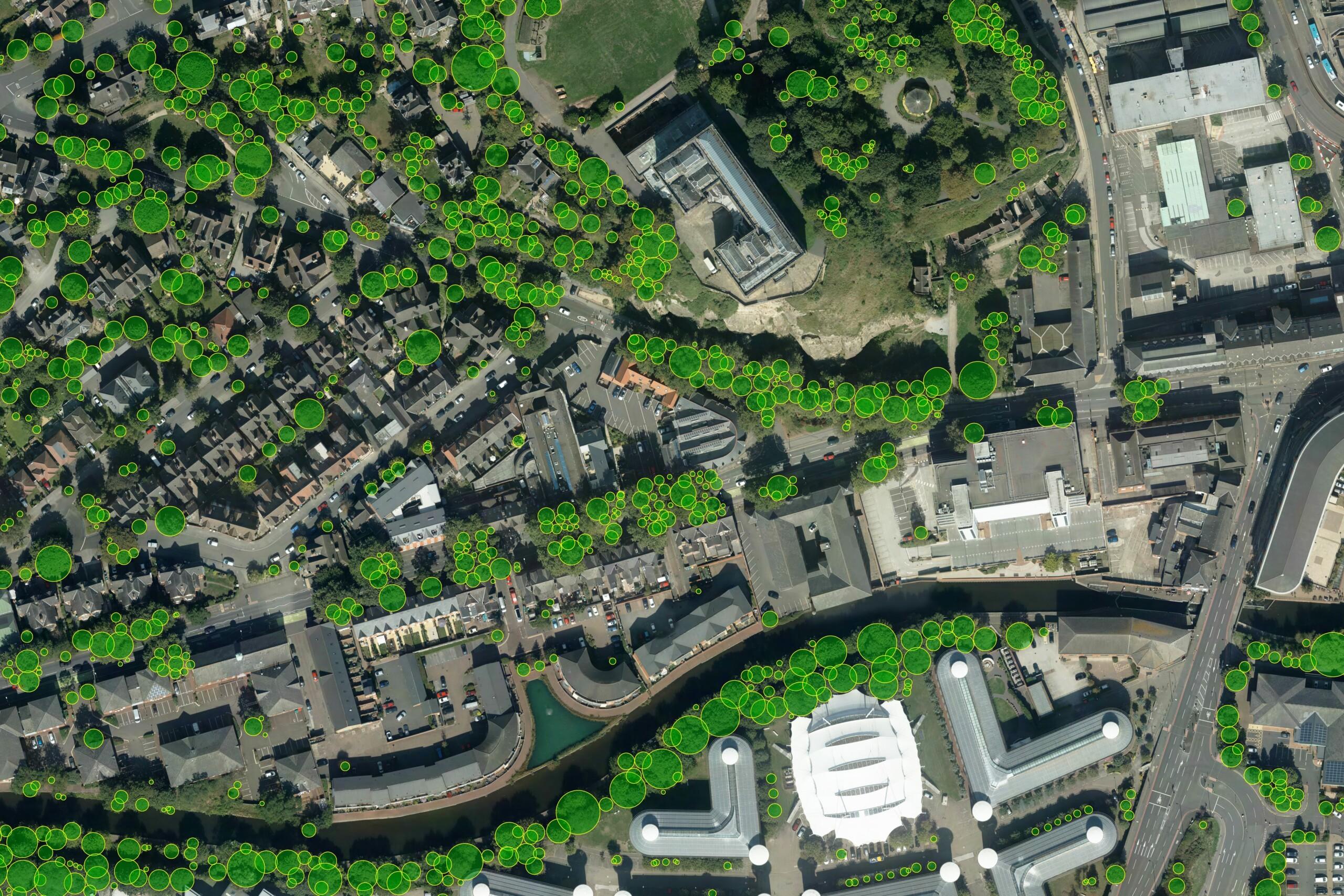
National Tree Map™
Our National Tree Map™ is a unique dataset that maps the height, location and tree canopy of trees 3 metres and taller throughout the Republic of Ireland.
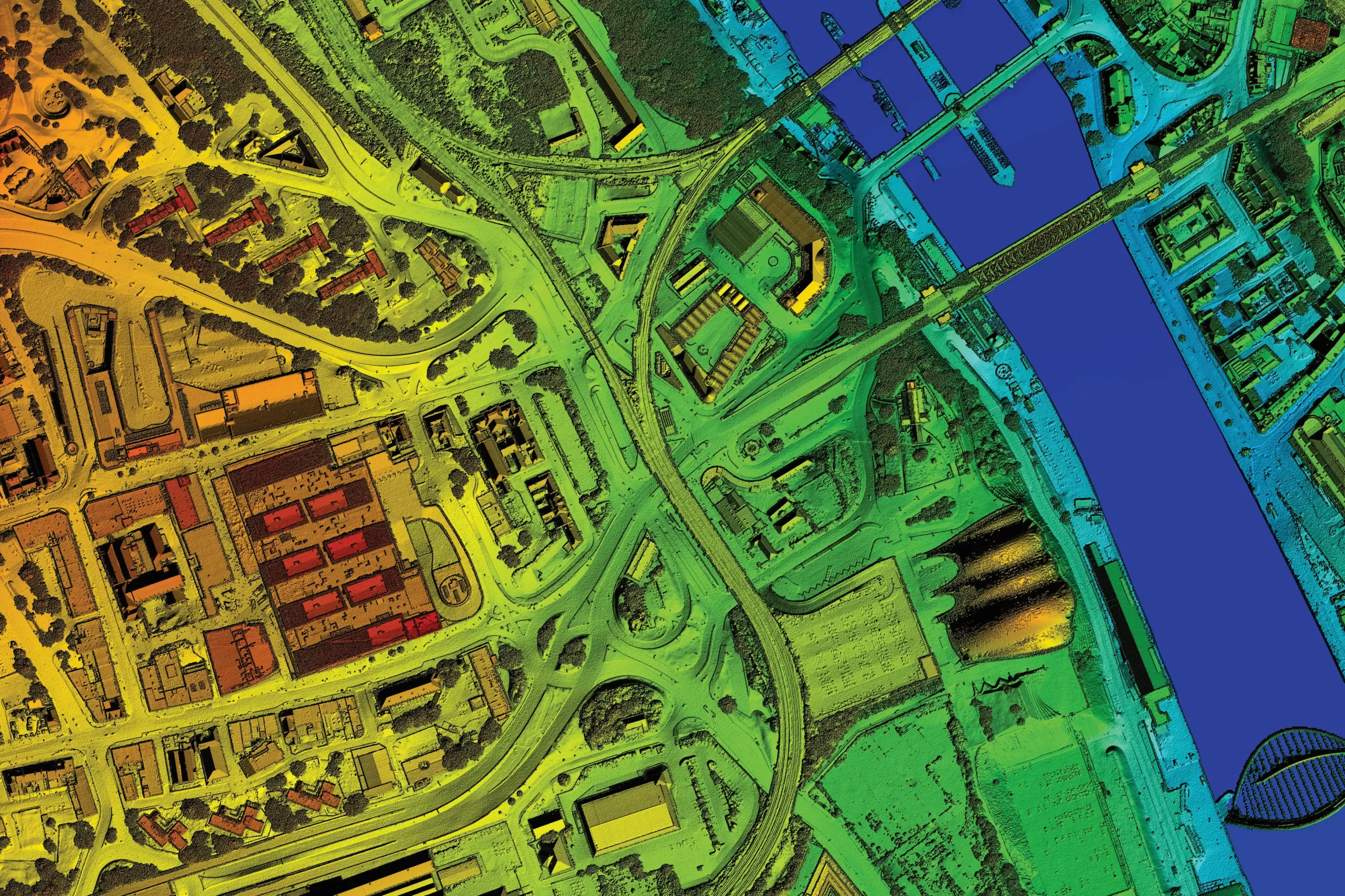
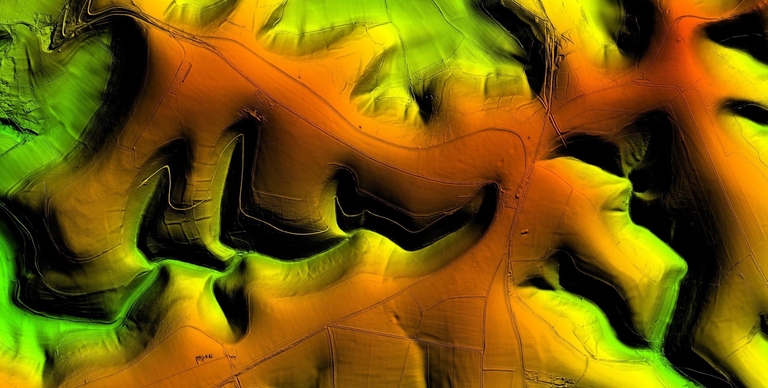
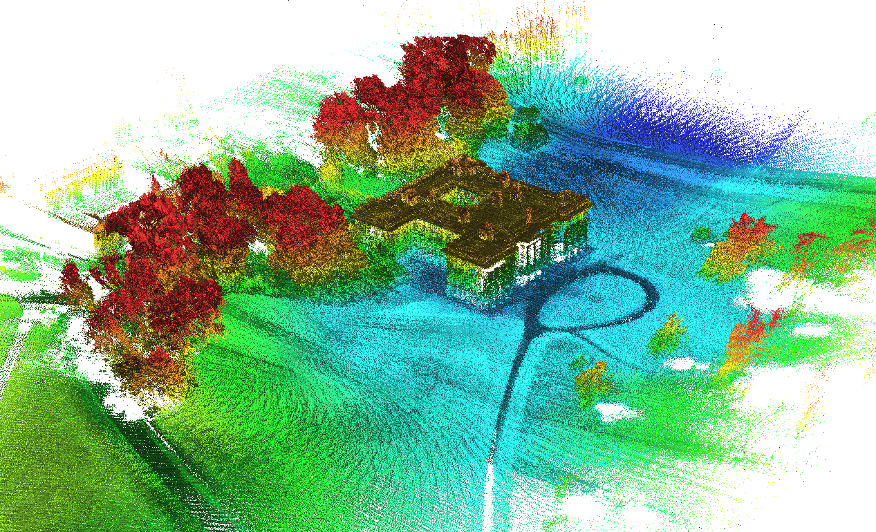
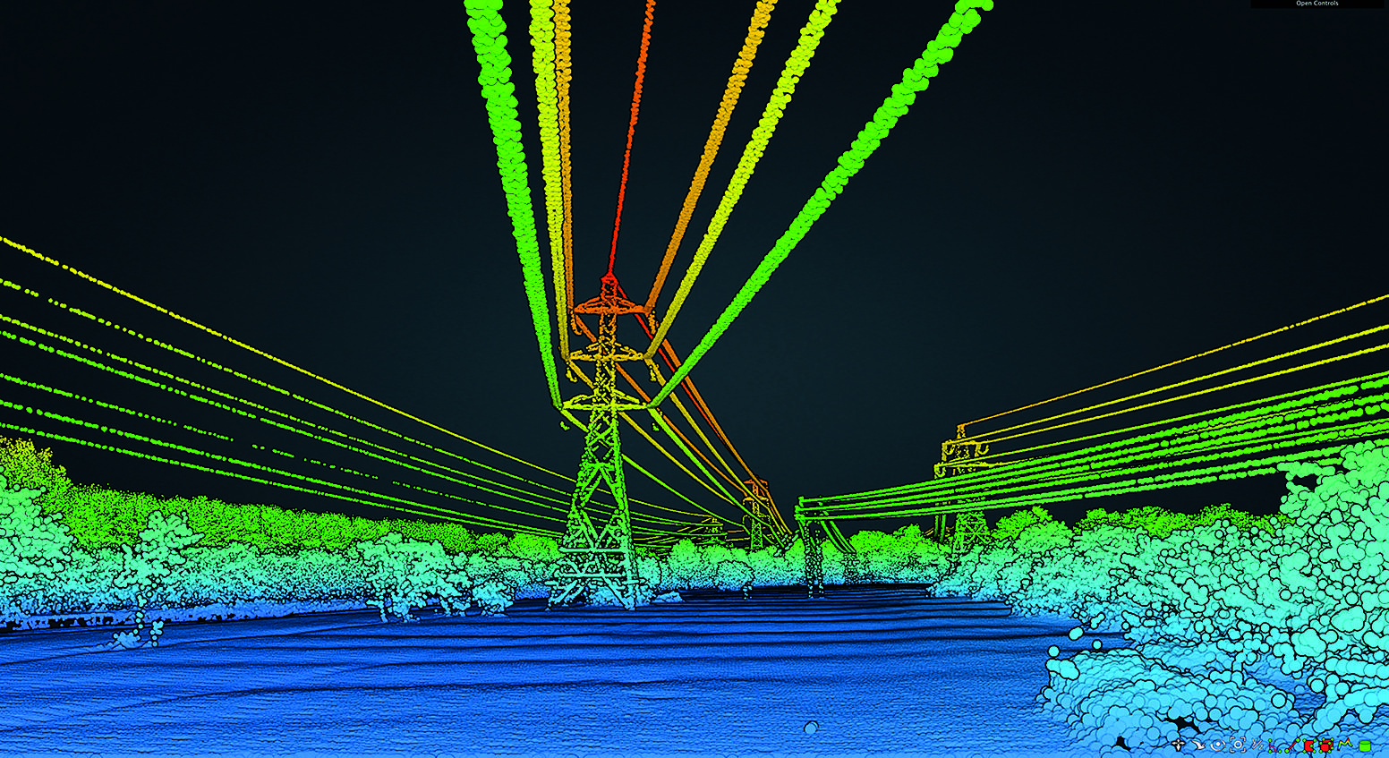
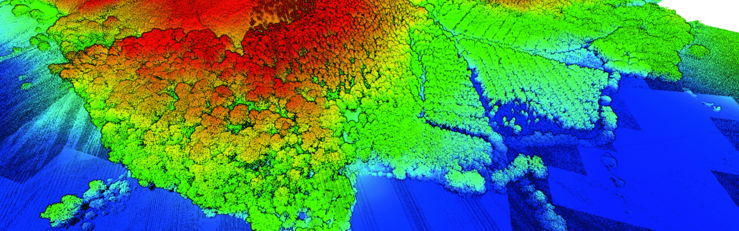
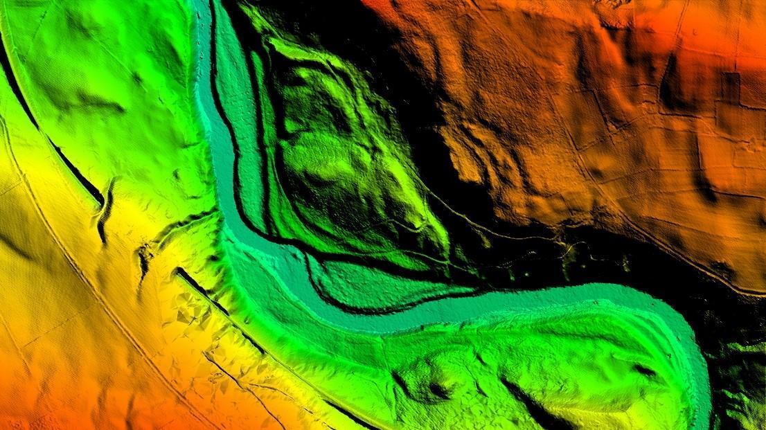
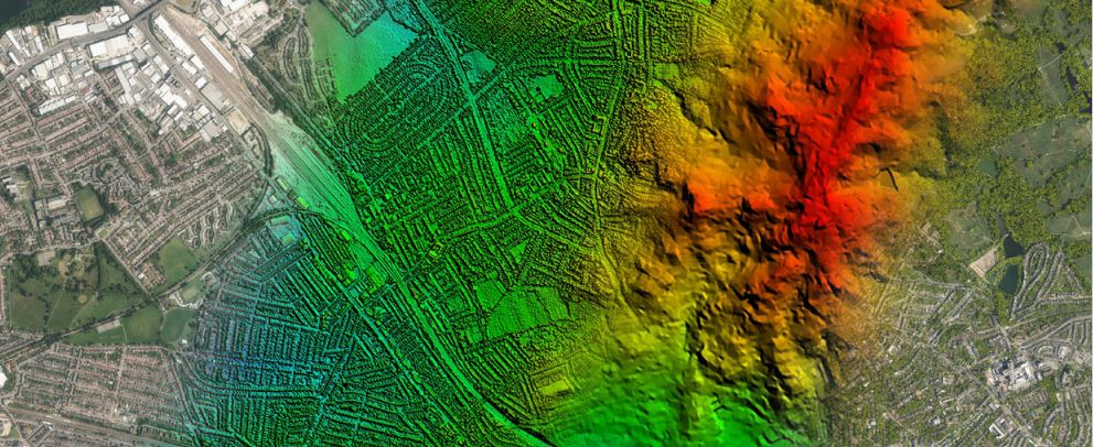
LiDAR Height Data
We accurately capture detailed and accurate terrain information including the height of both the terrain and any above ground features, such as trees and buildings.
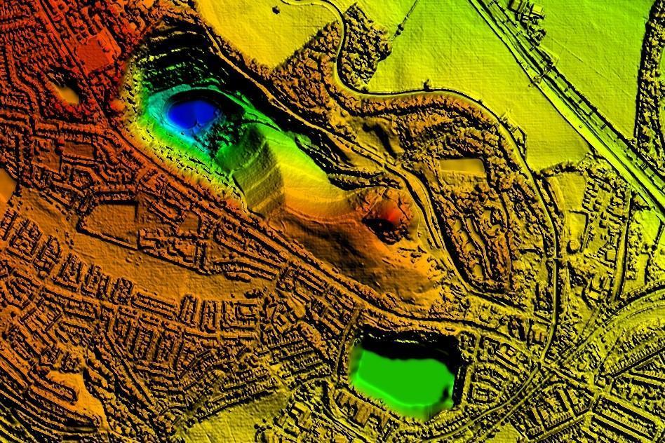
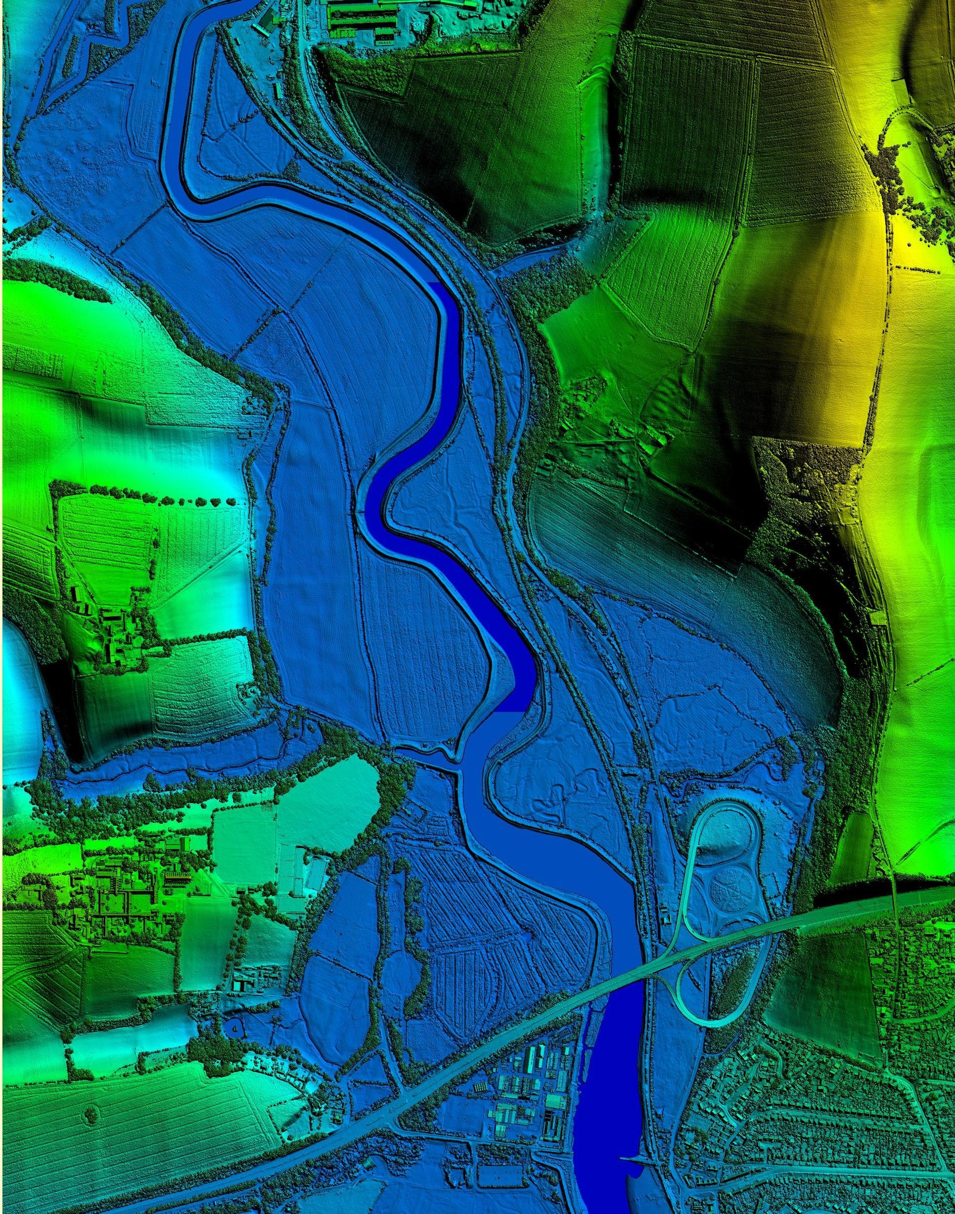
Photogrammetric DSM
Our Photogrammetrically derived digital surface models (DSM) are available as a grid of heighted points and contours at 25cm intervals.
Photogrammetric DTM
Our Photogrammetrically derived digital terrain models (DTM) are available as a grid of heighted points and contours at 5m intervals.
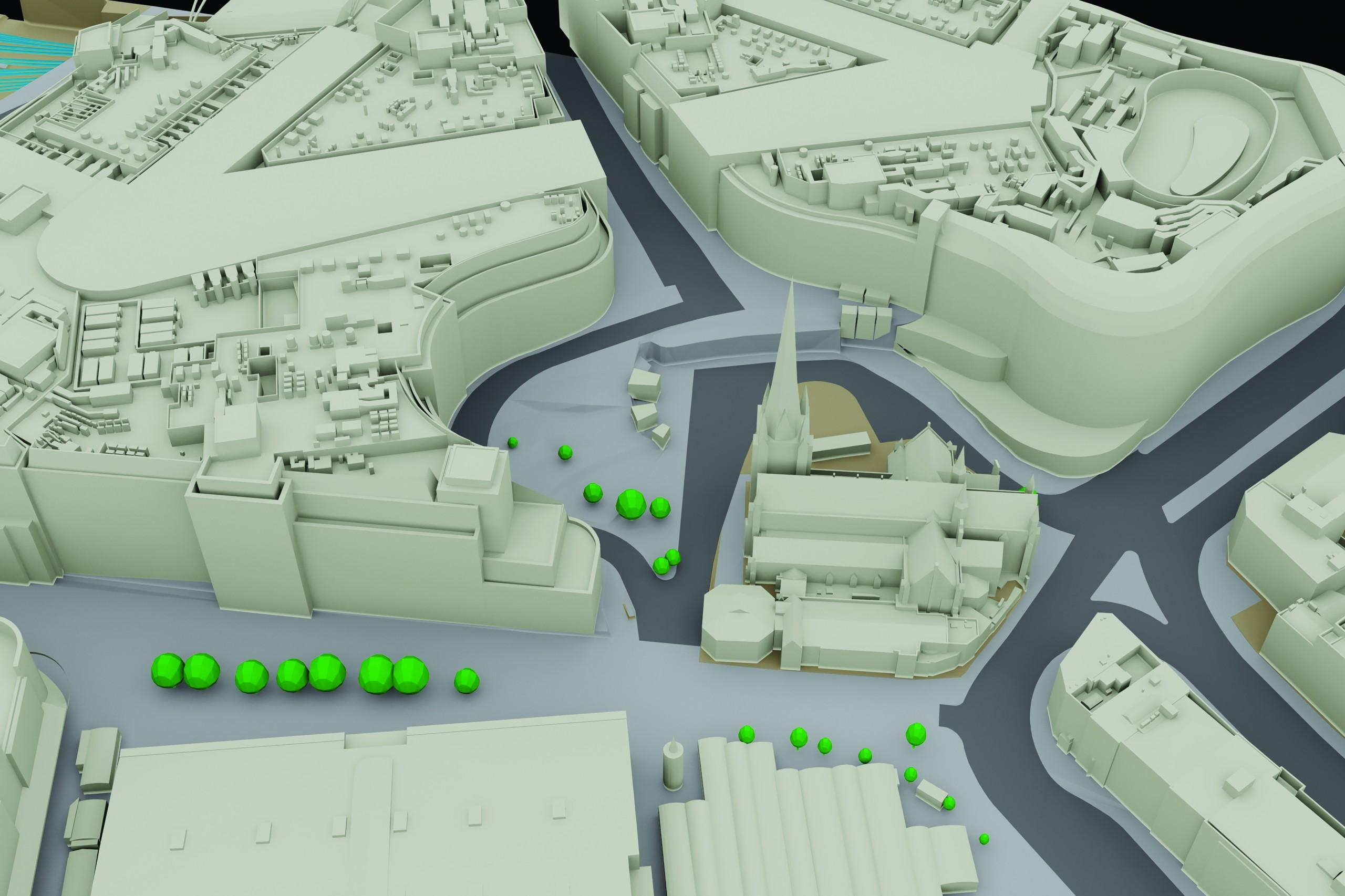
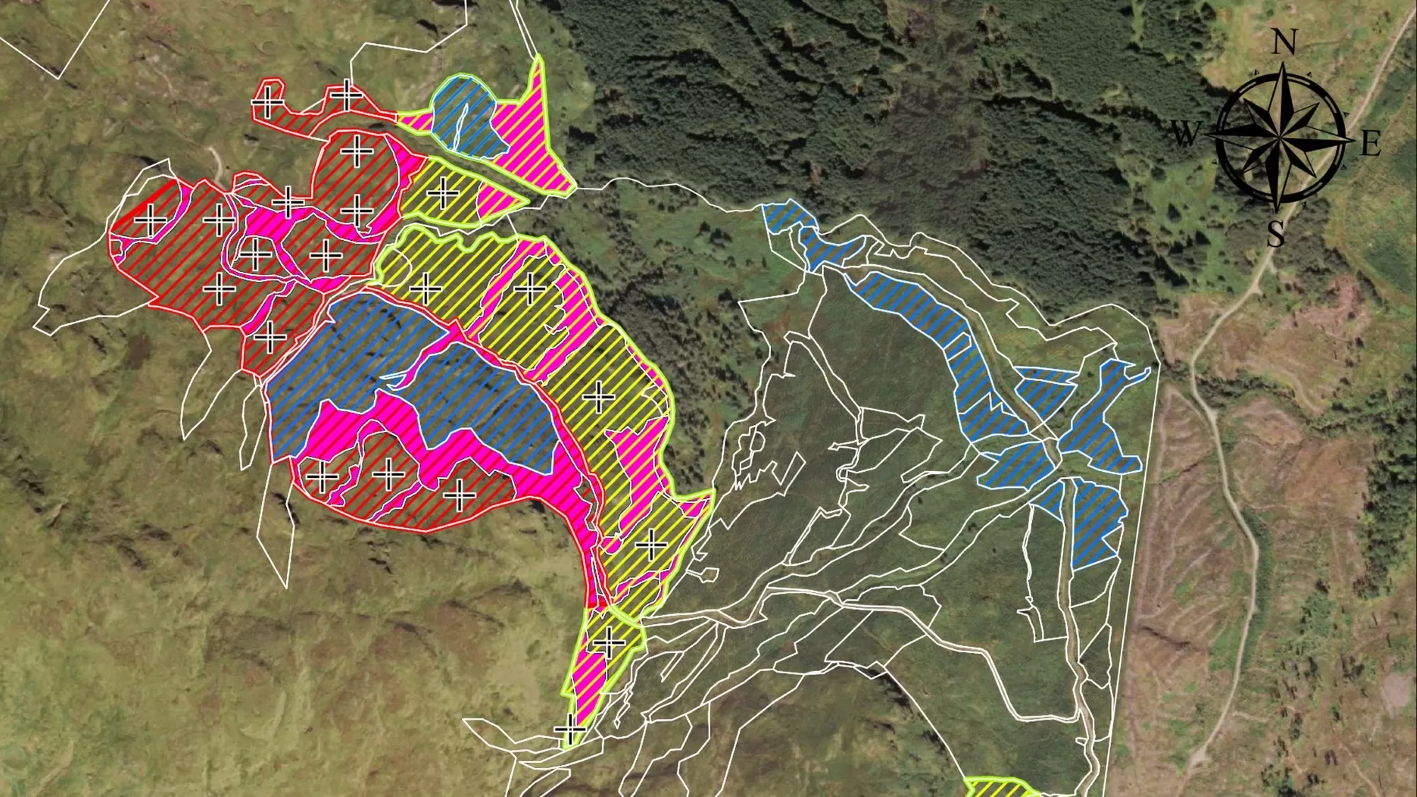
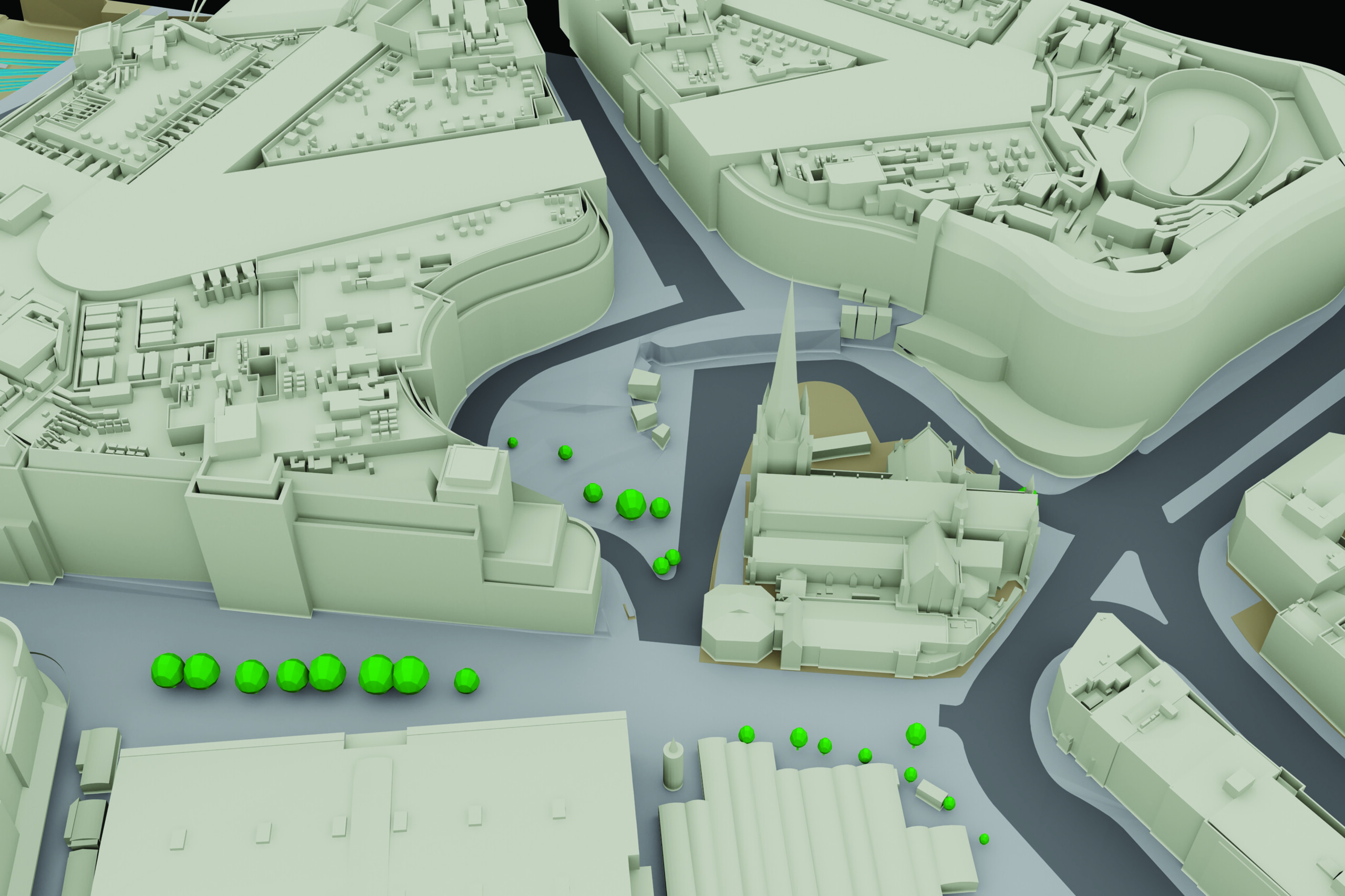
3D Building Models
Our collection of high resolution stereo aerial photography places us in the ideal place to provide cost-effective, accurate and detailed 3D models.

MetroVista™
We have captured 20 cities across the UK and Ireland to create intricate 3D mesh models which are an ideal baseline for a number of applications, including the creation of digital twin datasets.
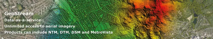
Web Mapping Services
A new service offering customers the opportunity to access unlimited data via a straightforward subscription service. Welcome to GeoStream.
Why choose Bluesky?
We have invested in the best data capture technology to ensure our products are accurate and high quality. In addition our experienced team are committed to delivering the best customer service, from your initial point of contact through to delivery of data and beyond.
A lot of our data is available off-the-shelf but we also work closely with clients to provide bespoke surveys and data tailored to specific requirements.
We have over 20 years of experience and work closely with the private and public sectors.