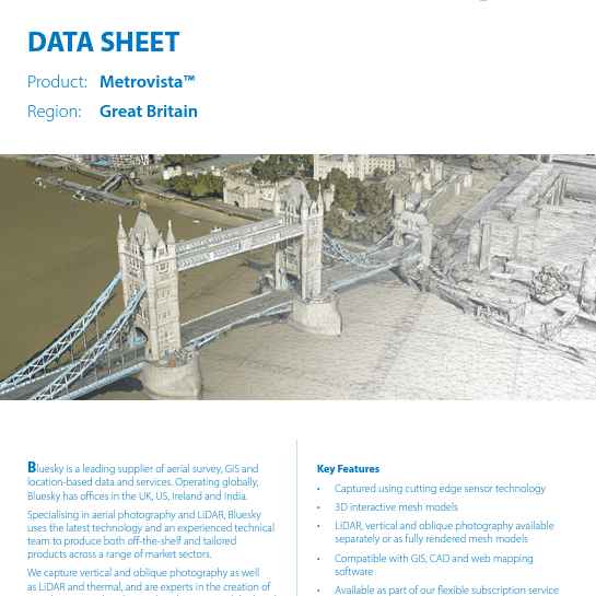
Information on product specifications, compatibility and potential applications.
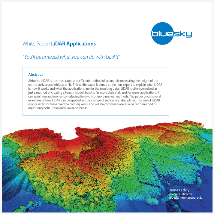
Whitepapers on Bluesky data sets including LiDAR, MetroVista and the unique National Tree Map.
A selection of high-quality samples of all Bluesky’s products in a range of formats.
Product brochures including those for the Utilities Sector and Local Authorities.